Uma Klein · 23 September 2026
Deer Migration Patterns Offer Clues to Birkehain's Ecological Health and Conservation Needs
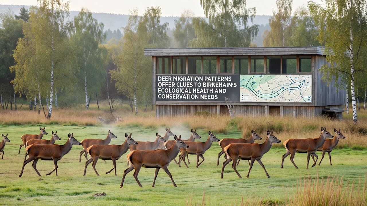
Deer herds move through Birkehain's birch-dominated landscapes each year, and tracking these routes reveals shifts in forest structure along with changes in undergrowth density. Data collected over multiple seasons shows that animals favor corridors where young birch saplings provide both cover and forage, while avoiding areas with heavy fungal damage recorded in prior years. Observers note that migration timing has adjusted by several days since 2020, with earlier departures linked to drier autumn soils that reduce available browse.
Tracking Routes Through Birch Groves
Wildlife teams place camera arrays and GPS collars on selected individuals each spring, then compile movement logs that highlight consistent pathways crossing both protected zones and adjacent farmlands. These logs indicate that herds cross the central valley in September 2026 roughly two weeks earlier than the ten-year average, a pattern researchers tie to earlier leaf drop in stressed stands. The data also flags several pinch points where fencing from new agricultural plots has narrowed travel lanes by up to thirty percent.
Studies conducted by the German Federal Agency for Nature Conservation document how deer concentrate in groves with higher moisture retention, while skirting ridges where soil compaction from earlier logging has slowed regeneration. Such preferences help map micro-habitats that support not only deer but also the rare moth species noted in canopy surveys last decade. When migration density drops in one sector, follow-up vegetation plots show corresponding declines in seedling survival rates.
Linking Movement Data to Forest Vitality
Collared deer transmit location pings every four hours during peak travel months, allowing analysts to overlay routes onto satellite imagery of canopy health. The resulting heat maps reveal that animals spend more time in sections where birch bark shows minimal discoloration, suggesting they detect subtle chemical changes before visible symptoms appear. In contrast, areas flagged for future zoning changes see reduced overnight stops, implying that even planned infrastructure shifts can alter behavior weeks in advance.
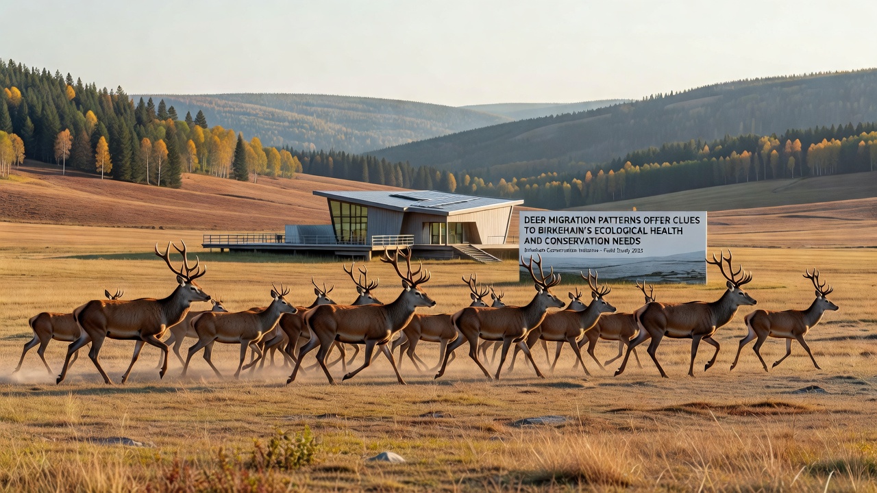
Canadian Wildlife Service reports on analogous boreal systems demonstrate similar avoidance patterns when browse quality declines, offering a comparative baseline for Birkehain conditions. Local teams have adapted those methods by adding soil moisture sensors at key crossing points, which now correlate directly with nightly deer counts. When sensor readings fall below established thresholds, migration volume decreases within forty-eight hours, providing an early indicator for conservation intervention.
Conservation Planning Informed by Herd Behavior
Planners use these movement statistics to prioritize corridor restoration projects that reconnect fragmented groves before seasonal travel begins. Recent fencing modifications along the eastern boundary, completed in late 2025, already show increased crossing frequency in spring counts. Officials from the European Environment Agency note that such targeted adjustments reduce human-wildlife conflict while preserving the natural flow of nutrients deer carry between feeding and bedding sites.
Long-term datasets further reveal that herds expand their range slightly during wetter summers, venturing into previously underused birch stands where moss layers retain water longer. This expansion helps disperse seeds and trample competing shrubs, indirectly supporting the same canopy diversity that benefits moth populations. When rainfall patterns shift, however, the animals revert to core routes, concentrating pressure on those groves and accelerating wear on saplings.
Future Monitoring and Adaptive Strategies
Continued collar deployments through 2027 will test whether the September timing shift stabilizes or accelerates under changing climate variables. Preliminary models from university research groups predict that sustained earlier departures could expose late-season fawns to higher predation risk if cover thins before snow arrives. Managers therefore plan supplemental plantings of browse species along established paths to buffer against such mismatches.
Integration of public trail cameras with official datasets has already expanded coverage without added expense, allowing residents to submit verified sightings that fill gaps in remote sensing. These combined records strengthen the case for maintaining open understories in designated zones while limiting new clearings that might sever existing links between groves.
Conclusion
Migration records continue to serve as a practical gauge of Birkehain's overall condition, guiding decisions on zoning, planting, and corridor protection. As additional seasons of data accumulate, patterns will refine further, helping maintain connectivity across the landscape for deer and the broader community of species that share these birch habitats.