Jakob Foster · 21 October 2026
Birkehain Heritage Festival Ignites Conversations on Sustainable Expansion and Ecological Oversight
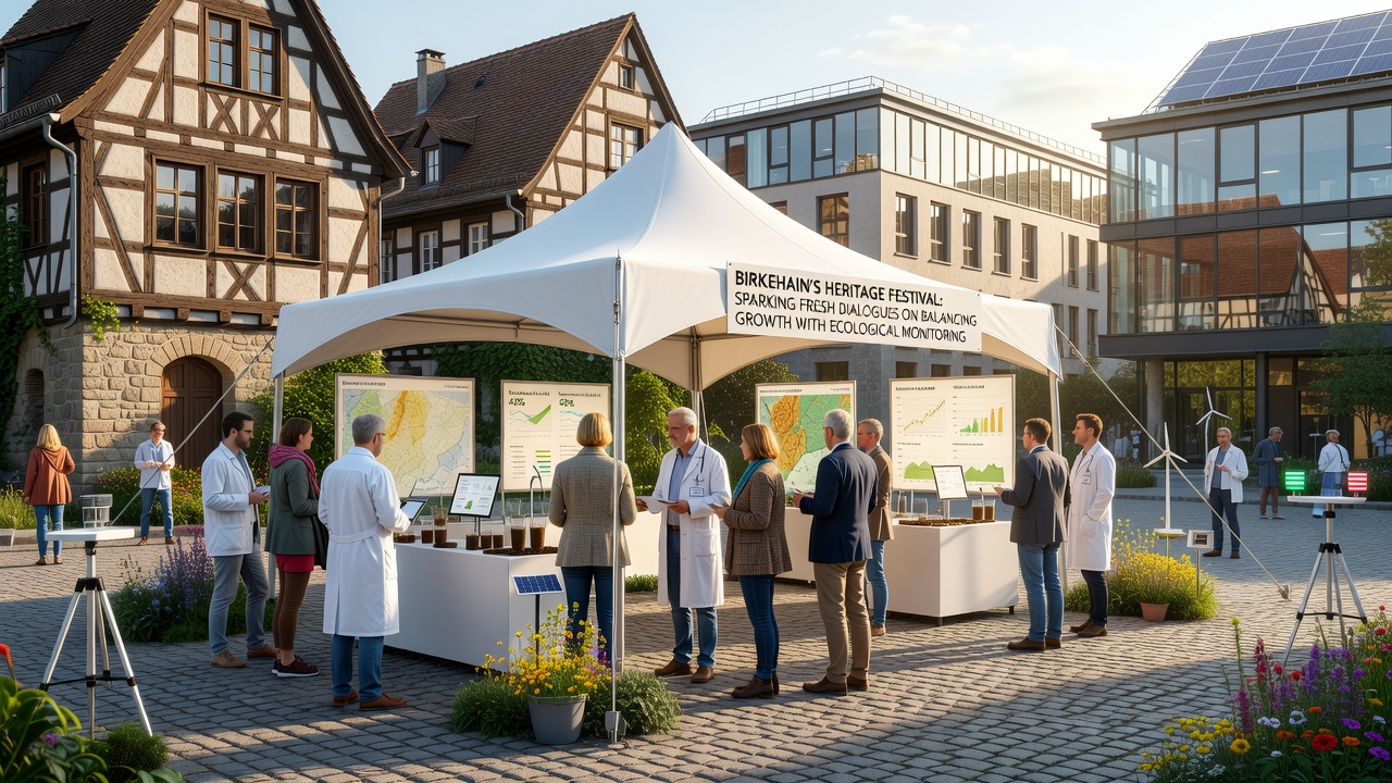
Organizers in Birkehain opened the annual Heritage Festival in early October 2026 with panels and exhibits that placed local development pressures alongside data on forest health, soil stability, and wildlife corridors, and the conversations quickly moved beyond celebration into structured exchanges about measurable limits and monitoring protocols. Researchers from regional universities presented satellite imagery and ground surveys collected over the previous five years, showing incremental canopy density changes and groundwater fluctuations that coincide with residential and commercial projects approved since 2021.
Panels Highlight Monitoring Data and Development Timelines
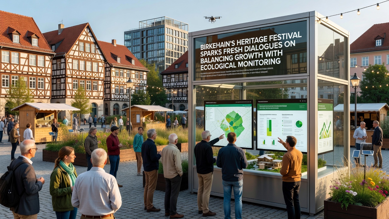
Attendees moved between tented stations where municipal planners displayed zoning maps updated through 2025 alongside sensor networks that track temperature, humidity, and pollinator activity in real time. One station featured live feeds from acoustic monitors installed in birch stands, and the recordings illustrated shifts in bird and insect populations that researchers linked to edge effects from nearby construction corridors. Government representatives from the European Environment Agency joined via video link to explain reporting frameworks used in similar mixed-forest regions across central Europe, and those frameworks require quarterly submissions of biodiversity indices that local authorities now consider adopting.
Community Input Shapes Monitoring Proposals
Residents who attended the workshops contributed observations collected through citizen-science apps, including seasonal counts of lichen coverage on older birch trunks and documented sightings of roe deer crossing newly paved access roads. These contributions fed into draft guidelines that propose expanding the existing sensor array by twelve additional nodes before the end of 2027, with data streams routed to a public dashboard maintained by the Birkehain environmental office. Planners noted that such expansions would align with standards already applied in comparable municipalities in Scandinavia and the Pacific Northwest, where similar dashboards have supported earlier intervention when threshold values for soil compaction or nitrate runoff are approached.
Industry participants from regional construction firms presented case studies of projects that incorporated phased clearing and buffer-zone restoration, citing reduced erosion rates measured at two sites completed in 2024. The presentations included cost breakdowns showing that integrated monitoring added roughly four percent to initial project budgets yet lowered remediation expenses in subsequent seasons. Observers noted that these figures match patterns reported by the U.S. Forest Service in its 2023 assessment of sustainable timber-adjacent development, where early data integration correlated with lower long-term compliance costs.
Policy Connections and Future Reporting Structures
Discussions turned toward potential updates to the municipal development code, with emphasis on mandatory pre-construction ecological baselines and post-completion audits conducted at twelve-month intervals. A working group formed during the festival will submit recommendations to the town council by December 2026, drawing on templates from Environment and Climate Change Canada that require cumulative-impact assessments when multiple projects occur within the same watershed. The group includes representatives from local forestry cooperatives, academic ecologists, and housing advocates who have tracked rental demand trends linked to employment growth in nearby logistics parks.
Exhibits also featured historical photographs from the 1950s showing denser birch coverage across what are now mixed-use zones, and archivists paired those images with current lidar scans to quantify canopy loss in specific parcels. These comparisons prompted questions about restoration targets that could be incorporated into future land-use permits, including minimum native-species replanting ratios and maintenance periods extending at least ten years after initial occupancy.
Conclusion
The festival concluded with commitments to publish the combined datasets from all participating stations on a shared municipal platform accessible to both researchers and residents, and follow-up sessions scheduled for spring 2027 will review progress on the expanded sensor network and the working-group recommendations. The dialogues established during the October 2026 event therefore transition from temporary exhibition spaces into ongoing administrative processes that link development approvals directly to ecological indicators tracked over multiple seasons.